
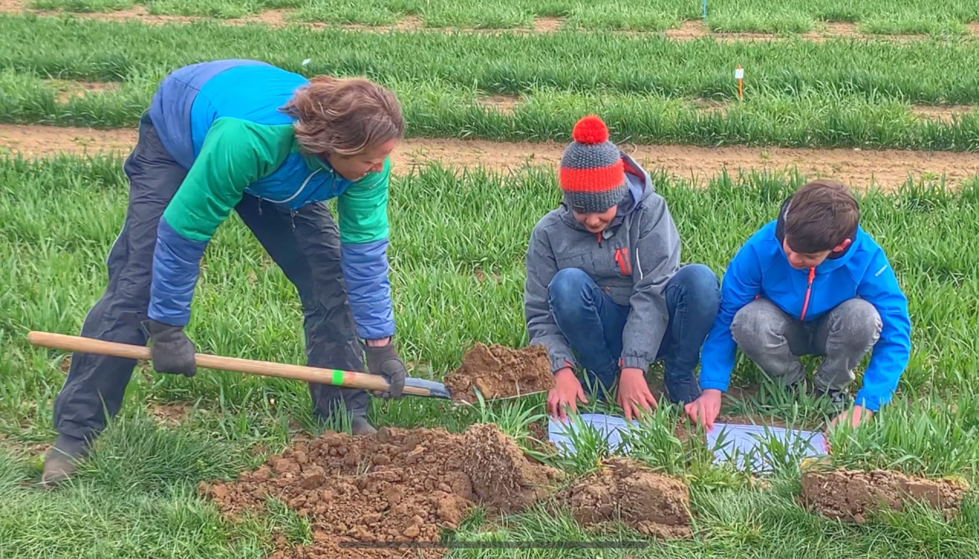
Soil Test 7: Infiltration Rate
Purpose: to measure how quickly water enters the soil, reflecting soil structure, compaction, and the risk of runoff or erosion.
Material needs:
Ring (16 cm diameter) with marked lines (to know volume), piece of wood, hammer, water (min. 2L), stopwatch (on phone)
Time estimated: 80 minutes, time needed can vary, depending on the soil properties.
Step-by-step instruction:
- Clear a new sampling area of surface residue, etc. If the site is covered with vegetation, trim it as close to the soil surface as possible without disturbing the surface. Avoid areas with visible disturbances such as ant nests, worm casts, rodent holes, or obvious cracks, as these can bias the infiltration rate.
- Using the hammer and block of wood, drive the ring, beveled edge down, to a depth of 7.5 cm (line marked on outside of ring) into the soil. If the soil contains rock fragments, and the ring cannot be inserted to depth, gently push the ring into the soil until it hits a rock fragment. Measure the height from the soil surface to the top of the ring in cm.
- With the ring in place, use your finger to gently firm the soil surface only around the inside edges of the ring to prevent extra seepage. Minimize disturbance to the rest of the soil surface inside the ring.
- Fill the ring gently (!) to the top mark with water. Record the amount of time (in minutes) it takes for the water to reach the different lines while infiltrating the soil. Stop timing when the surface is just glistening. If the soil surface is uneven inside the ring, count the time until half of the surface is exposed and just glistening.
Video tutorial: https://www.youtube.com/watch?v=YsEYs3YfkKE / https://www.youtube.com/watch?v=3PSroyhfXDM (To open the video, do not click on the link, but copy and paste it into your browser)
Form
- Time until water reached line 1: _______
- Time until water reached line 2: _______
- Time until water reached line 3: _______
Time until water reached line 4: _______
App herunterladen und registrieren
Standort beschreiben
Falls du kein Smartphone besitzt oder aus anderen Gründen lieber mit einem PC teilnimmst, navigiere zur Karte.
Wie hat es denn beim Kabarettisten Simon Enzler funktioniert?